Where is Ollantaytambo?
Ollantaytambo is in Sacred Valley, Peru, in South America. The game uses the reference point shown below: -13.2586°, -72.2640°. A guess within 25 km earns the full distance score before any hint deduction.
The marker identifies the main archaeological hillside at Ollantaytambo, not its railway station or the full extent of the modern town.
Map loading. Coordinates: -13.2586°, -72.2640°.
The story behind the landmark
The major Inca complex developed during the empire's expansion under Pachacutec. Ollantaytambo had military, religious and agricultural roles, with terraces, buildings and water channels linking these functions. Peru's tourism account also highlights the survival of the town's Inca street arrangement and other elements of its built environment.
The municipal history records the site's role in Manco Inca's resistance to Spanish conquest. Spanish forces under Hernando Pizarro were forced to retreat after fighting here during that resistance. The terraces therefore belong to a landscape of administration, cultivation and conflict, rather than simply a scenic stairway.
How to recognise it
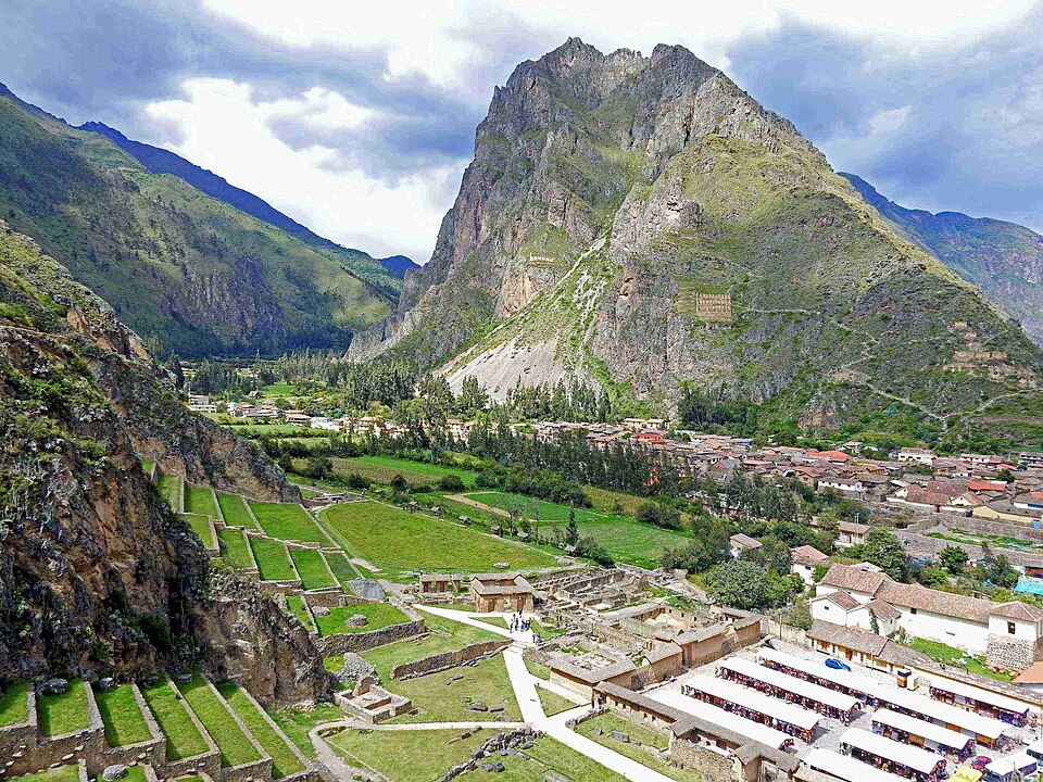
- Wide stone terraces ascending a steep mountainside
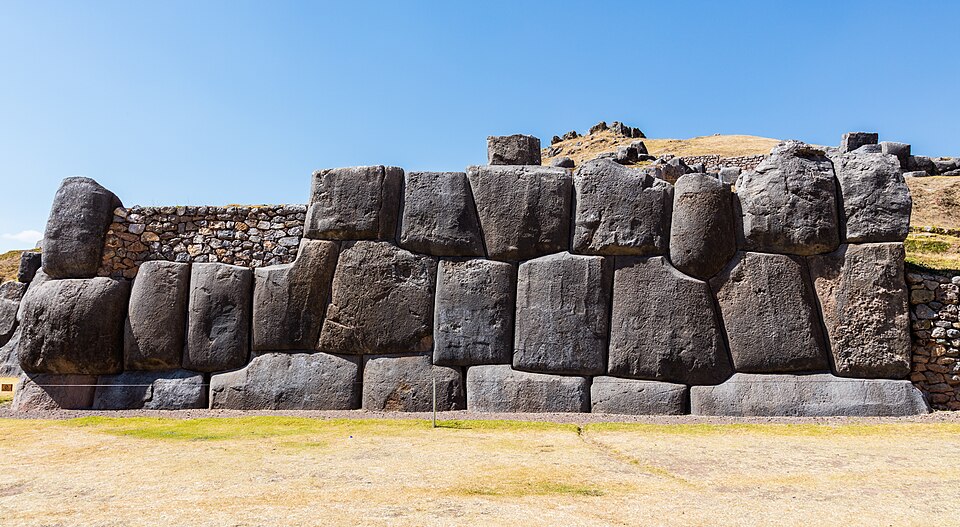
- Large carefully cut stones in the upper monumental sector
- A town and valley floor immediately below the terraced hillside
Look twice: a useful comparison
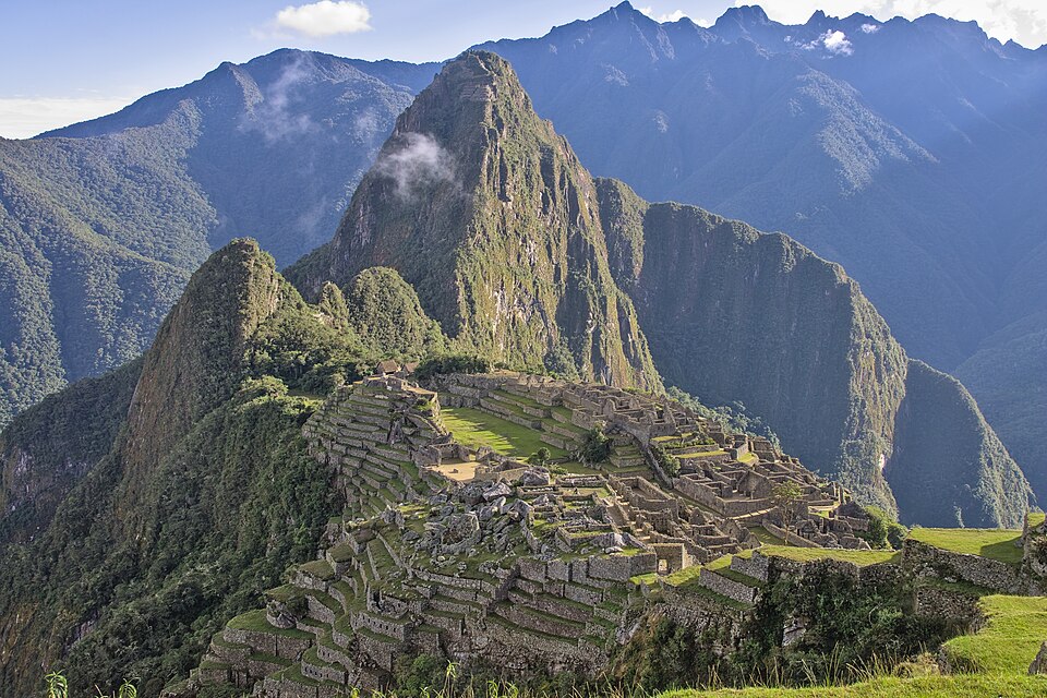
Ollantaytambo and Machu Picchu share Inca terraces and masonry, but their landscapes differ. Ollantaytambo rises beside a town on the Sacred Valley floor. Machu Picchu occupies a more isolated ridge. For a close crop, wait for the wider hillside arrangement before deciding between them.
A detail worth remembering
Ollantaytambo is often described as a living Inca town because its streets and channels preserve parts of an older plan. That continuity gives the archaeological hillside a different context from a site where only abandoned buildings remain.