Where is Sydney Harbour Bridge?
Sydney Harbour Bridge is in Sydney, Australia, in Oceania. The game uses the reference point shown below: -33.8523°, 151.2108°. A guess within 25 km earns the full distance score before any hint deduction.
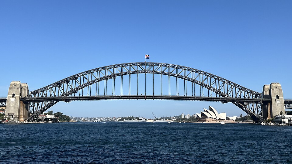
The marker represents the main bridge span across Sydney Harbour. The approaches and pylons extend on both sides of the water.
Map loading. Coordinates: -33.8523°, 151.2108°.
The story behind the landmark
The bridge opened in 1932 after an eight-year construction programme. Transport for New South Wales records the contract with Dorman Long and the engineering effort required to connect the harbour's northern and southern sides. The bridge belongs to the city's transport history as well as its skyline.
Destination NSW describes a 503-metre arch span and the meeting of the two arch halves in August 1930. Granite for the pylons came from the New South Wales south coast. These different materials are visible in photographs: an open steel structure at the centre, with massive stone-faced elements at the ends.
How to recognise it
- A single broad steel arch above the roadway
- Dense open steel bracing forming the curved central span
- Four substantial stone-faced pylons framing the approaches
Look twice: a useful comparison
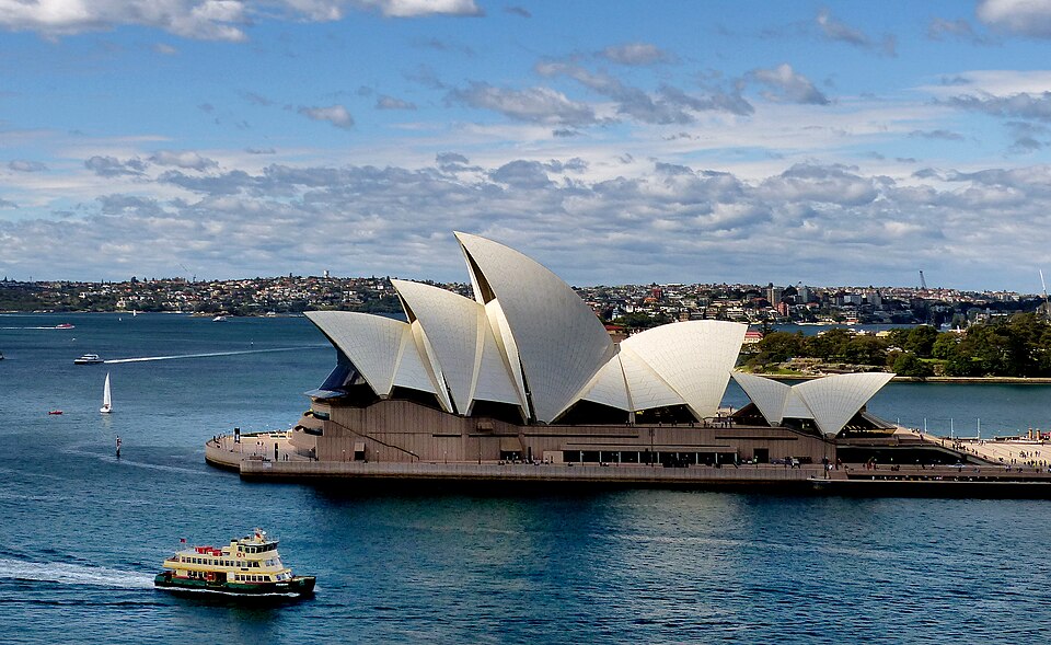
The Golden Gate Bridge is a suspension bridge with tall orange-red towers and curving main cables. Sydney Harbour Bridge uses a steel arch. The nearby Opera House may confirm Sydney when it is visible, but the bridge structure should remain the main identification clue.
A detail worth remembering
The two steel halves of the arch met above the harbour in August 1930, before the bridge opened to traffic in 1932. Separating that construction milestone from the opening date helps explain how the immense central span came together.